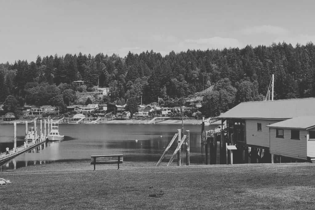
Walk the loop off Wollochet Drive at low tide and you get one park: a wide brown mudflat, wading birds working the shallows, the smell of salt marsh drying in the sun. Walk the same stretch six hours later at high tide and that mudflat is gone, replaced by open water lapping close to the trail edge, kayaks drifting where there was just mud and grass. Same address. Different park. Most people who live around Wollochet Bay have felt this without ever naming it.
The reason isn't seasonal. It's not even really about weather. It comes down to two separate facts that rarely get put next to each other: the park is smaller than the land protected around it, and almost none of what makes the place interesting is visible without the right tide.
Two Owners, One Bay
Wollochet Bay Estuary Park, the piece managed by PenMet Parks, sits at 20 acres, assembled gradually since 2000 with a conceptual plan finished in 2008. That's the part with the maintained entrance off Wollochet Drive and Artondale Drive NW, open from 7 a.m. to dusk, dogs required on leash outside the designated off-leash areas.
But the estuary itself is bigger than that 20 acres, and most of the extra ground belongs to a different organization entirely. Great Peninsula Conservancy holds conservation easements on seven additional parcels and owns one outright, covering roughly 25 acres of salt marsh, shoreline, freshwater wetland, and lowland forest along the bay's north and northwest shore. Salt marsh and estuary habitat make up about 16.5 of those acres, with upland forest and wetland covering the rest.
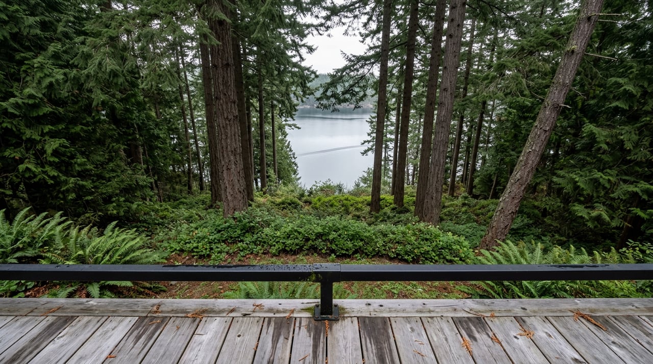
Here's the detail that matters if you've ever wondered why half the shoreline looks untouched: those GPC-protected uplands, running anywhere from 165 to nearly 450 feet deep between Wollochet Bay Drive and the water, currently have no maintained trails or viewpoints. They're protected, not developed. So when you're standing in the park proper looking across the water at forest you can't reach, you're not missing a trail. There isn't one. That side is conservation land, not park land, and the two systems were built by two different organizations for two different purposes.
Where Two Creeks Make the Mudflat
The reason there's a mudflat to read at all is that two creeks feed into the head of the bay from opposite directions. Artondale Creek comes in from the northwest, Wollochet Creek from the northeast, and where fresh water meets salt water you get the estuary that draws the birds and the fish.
That mixing zone supports coho and chum salmon, cutthroat trout, and likely steelhead, with migratory Chinook using the estuary at least occasionally. None of that is visible from the parking area. It shows up in the channels the creeks cut through the mudflat, which is exactly the terrain that disappears at high tide and reappears at low.
The bird list follows the same logic. Bald eagle, great blue heron, and osprey use the forested edges. Down on the exposed flats, expect pigeon guillemot, sandpiper, and cormorant working the mud for whatever the retreating tide leaves behind. A paddler who's made the run down from the old ferry landing near Point Fosdick off Berg Drive, a trip that takes about an hour at a casual pace, describes the approach as one where you hear the park before you see it, the bay narrowing and sheltering from wind as the birds get louder.
A Boat Launch Bought on Purpose
The park's water-access parcel wasn't always part of it. In 2008, the Peninsula Metropolitan Park District used a $369,350 Washington Wildlife and Recreation Program grant, matched dollar for dollar, to acquire nearly 4 more acres contiguous with the existing park. One of those parcels, at 1.55 acres, came with a maintenance shop, a boat launch, a dock, and tidelands already in place. The stated purpose was specific: extend non-motorized boat access and improve wildlife-viewing opportunities for the district.
That's the origin of the Wollochet Bay Boat Launch off 37th Street NW today. It exists because a park district decided the estuary needed a formal put-in point for kayaks and small craft, not because a launch happened to be there already. PenMet's own park description notes water access is available at high tide, which lines up with everything above. Low tide gives you ground. High tide gives you water.
The Bay Also Has a Working Side
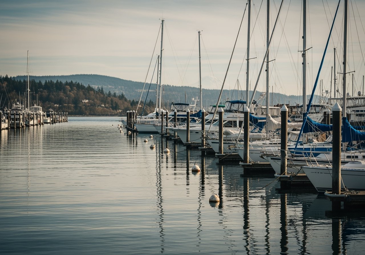
Not everything on Wollochet Bay is passive. The Tacoma Yacht Club operates an outstation directly on the bay, and it does real work. Gig Harbor Junior Sailing partners with Tacoma Junior Sailing to run camps out of the TYC Wollochet Bay outstation, with some classes shared between that site and West Shore Marina. Earlier this month, a week of teen sailing instruction for ages 12 to 18 ran out of the outstation using Club 420 two-person boats, the kind of class built for sailors comfortable capsizing and recovering on their own.
The outstation also hosts the club's Shipmates women's auxiliary for board meetings alongside its main clubhouse activity on Commencement Bay. So the quiet water you see from the park trail is, at other hours, a working sailing base with kids learning to right a capsized boat and a yacht club running its own calendar independent of the park district next door.
Timing a Visit
If you're planning around the tide rather than the clock, here's roughly what to expect depending on why you're going.
| Purpose | Best tide | What's actually there |
|---|---|---|
| Walking the loop trail | Low tide | Exposed mudflat, wading birds, visible creek channels |
| Kayak or paddleboard launch | High tide | Open water at the 37th Street launch, easier put-in |
| Birdwatching for guillemot and sandpiper | Low to mid tide | Mudflat feeding activity, most active as the flat is exposed |
| Watching eagles or osprey | Any tide | Forest edge activity isn't tide-dependent |
None of this is posted at the trailhead. It's the kind of thing you learn by showing up wrong a few times first.
One Thing to Know Before You Drive Over
If you're coming from the Highway 16 side, budget extra time right now. A Gig Harbor Now letter to the editor published August 12 this year pointed out that the Wollochet overpass, built around 1973, wasn't designed for the traffic volume the area carries today, singling out the short northbound acceleration lane as a recurring bottleneck. It's not new information to anyone who commutes through there regularly, but if you're timing a trip to the park around a falling tide, give yourself a buffer.
The Takeaway
Wollochet Bay Estuary Park reads as one contiguous piece of nature from the road. It isn't. It's a park district's 20 acres stitched next to a conservancy's 25 acres of easements, fed by two creeks, worked by a yacht club, and made visible or invisible twice a day by the tide. Knowing which system you're standing in, and what the water is doing at that moment, is the difference between a walk that feels ordinary and one that actually shows you why people who live on this bay rarely feel the need to explain it to anyone else.
If you're weighing a move to this stretch of Gig Harbor, or you already live here and want a market read that's just as specific as this park is, Catt Johnson is a call away. Book a call and get the same level of detail applied to the number that actually matters to you.