Do you picture your evenings with golden sunsets over the Tacoma Narrows, or morning coffee after a quick stroll along a paved waterfront promenade? If you are choosing between Tacoma’s West Slope and the broader North End around 98406, both offer a “view lifestyle,” just in very different ways. You want a clear, on-the-ground sense of what daily life feels like before you decide. This guide compares home styles, street feel, waterfront access, and mobility so you can pick the fit that matches your rhythm. Let’s dive in.
Map it first: where each area sits
The West Slope is a bluff-top neighborhood west of downtown Tacoma. In the state’s historic survey, the West Slope/Narrowmoor area is roughly bounded by S. 6th Avenue to the north, S. Jackson Avenue to the east, S. 19th Street to the south, and Mountain View or Linden Lane to the west. The plats step down toward the Tacoma Narrows, and many homes were sited to capture water and bridge views. You can see this context in the DAHP West Slope historic survey.
The North End is an areawide district that includes several subareas: Proctor, the University of Puget Sound area, the North Slope historic district, Old Town, and the Ruston Way waterfront. City materials for the North End Neighborhood Council area describe those subareas and the emphasis on pedestrian-friendly business nodes.
Locals sometimes lump West Slope in with “North Tacoma,” but in planning documents they are treated separately. Using the specific boundaries above helps you compare apples to apples.
Home styles and the street feel
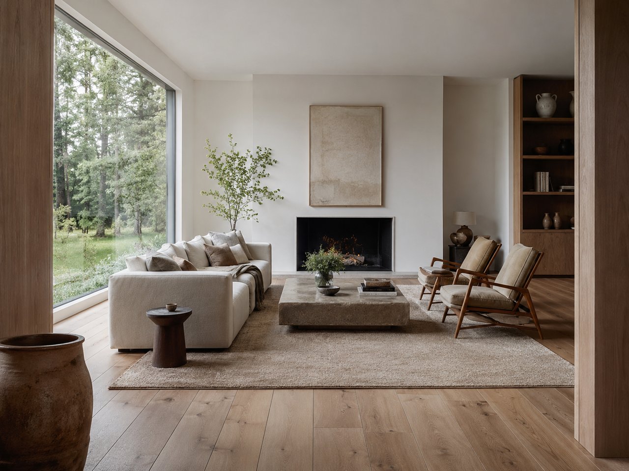
West Slope: mid-century terraces and quiet lanes
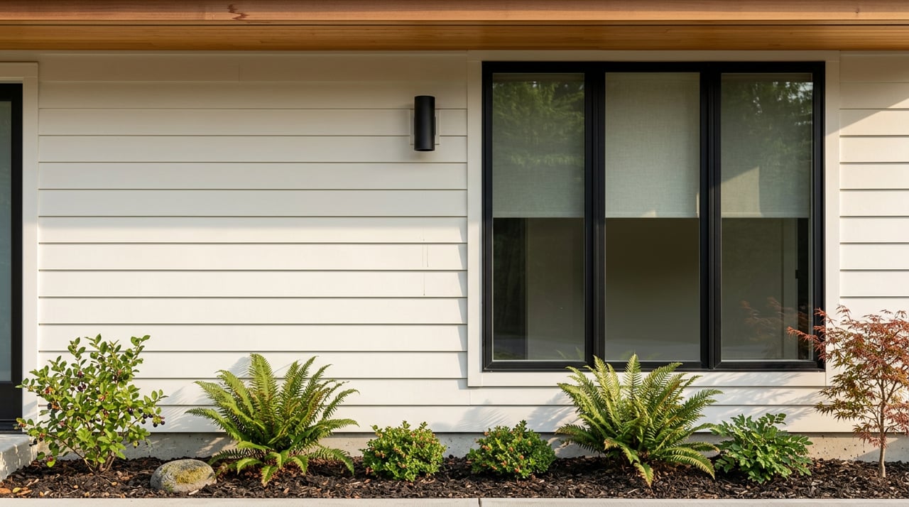
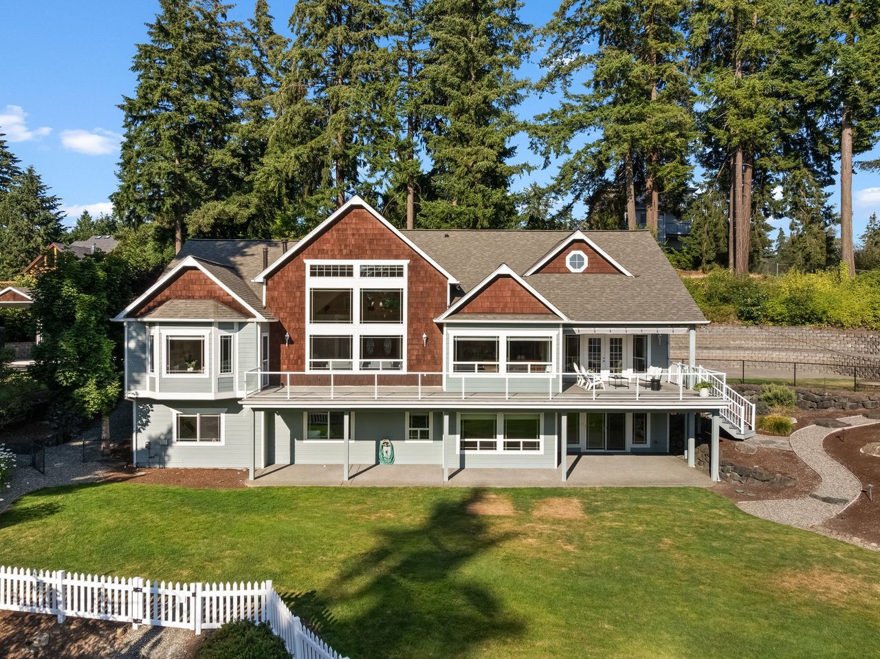
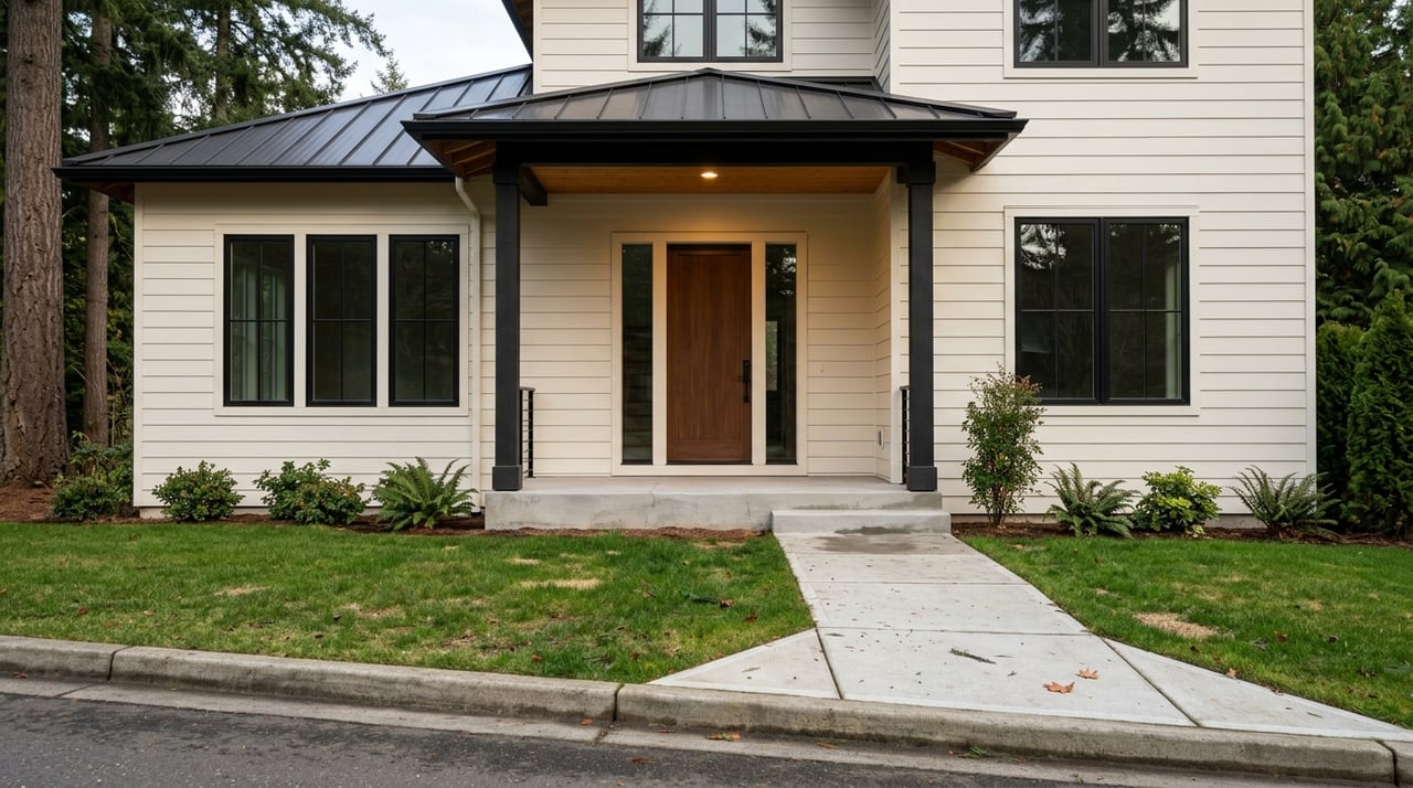
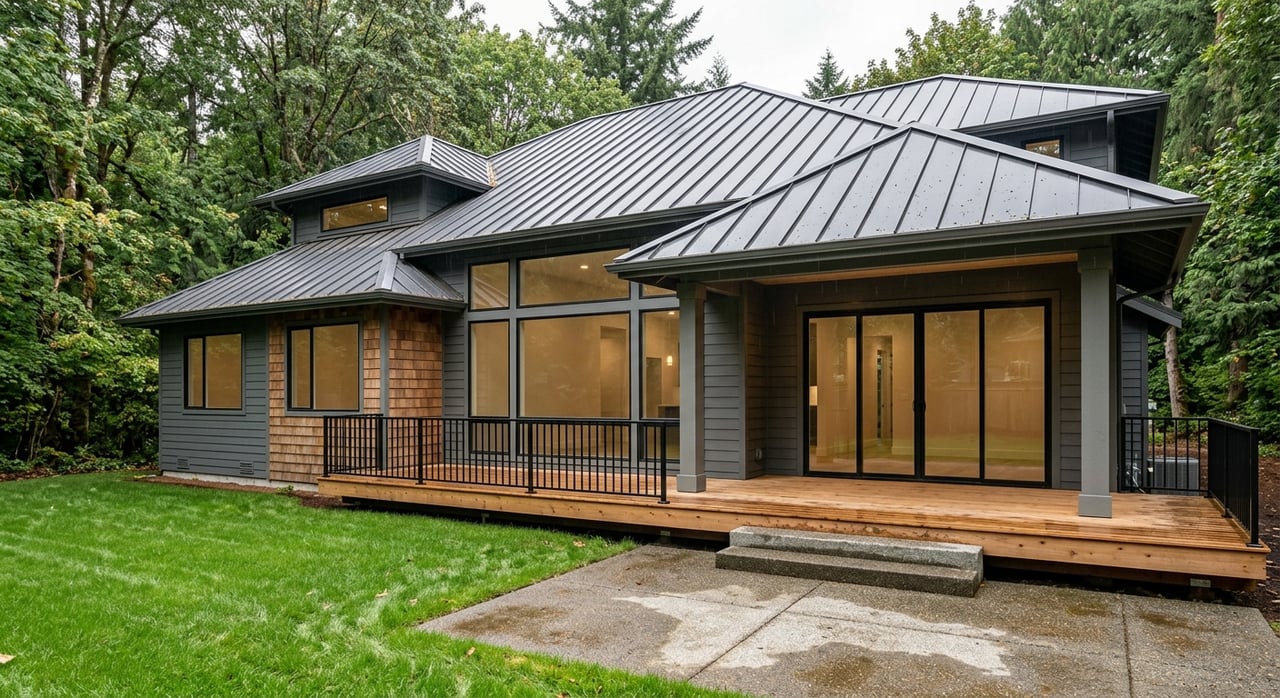
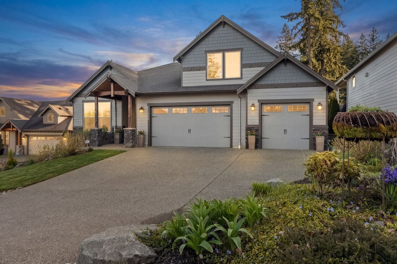
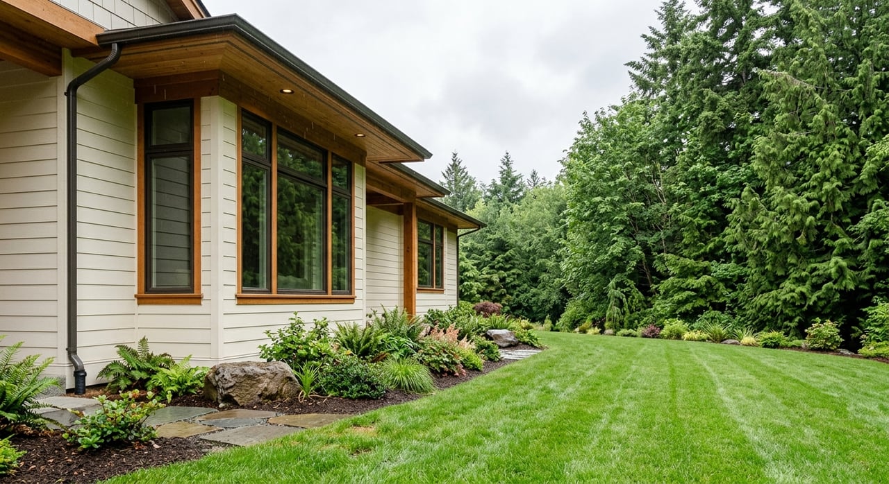
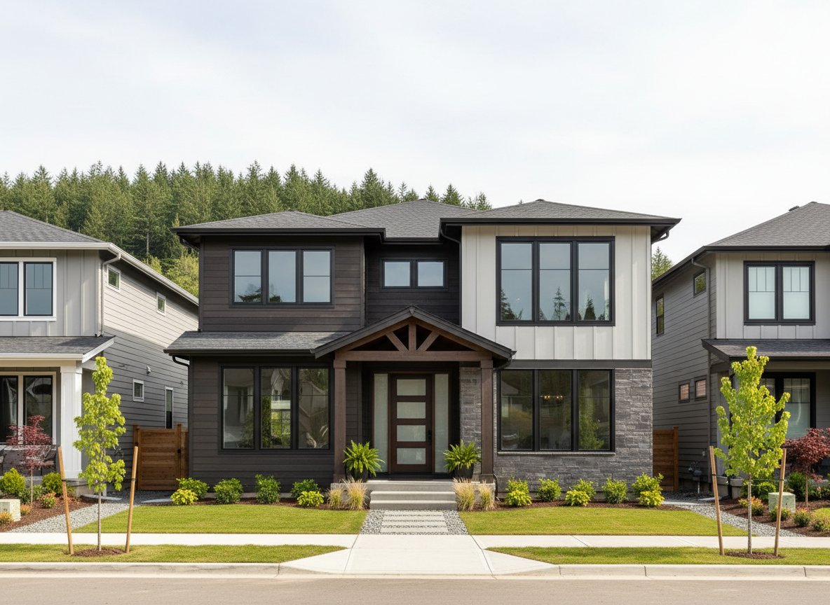
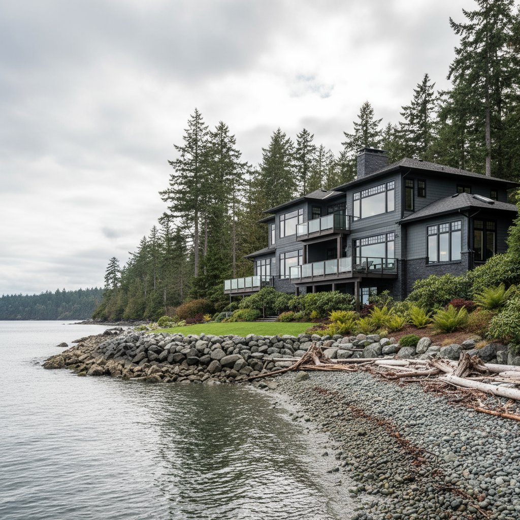
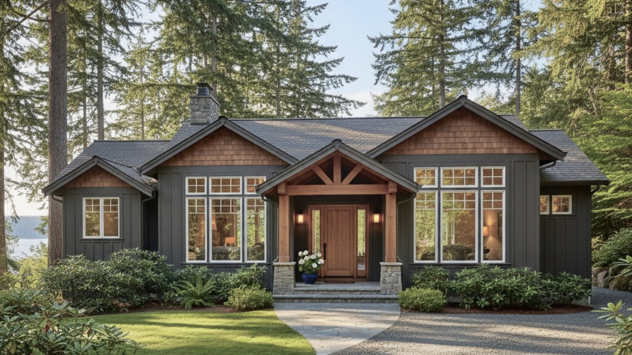
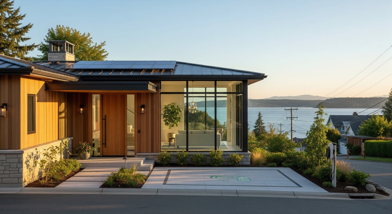
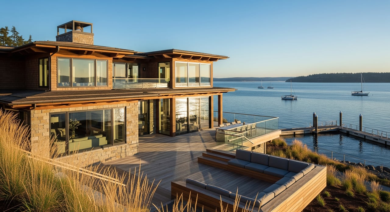
West Slope grew quickly in the late 1940s through the 1960s. You will find Minimal Traditional homes, brick bungalows, classic Ranch, split-level, and some modernist forms. Many blocks were designed as terraces parallel to the water. Some internal streets lack curbs or sidewalks, and several lots are “through lots,” which creates long blocks, limited cross streets, and a calm, semi-suburban feel with properties oriented to views. The West Slope survey documents this post-war character and layout.
North End: historic fabric and walkable blocks
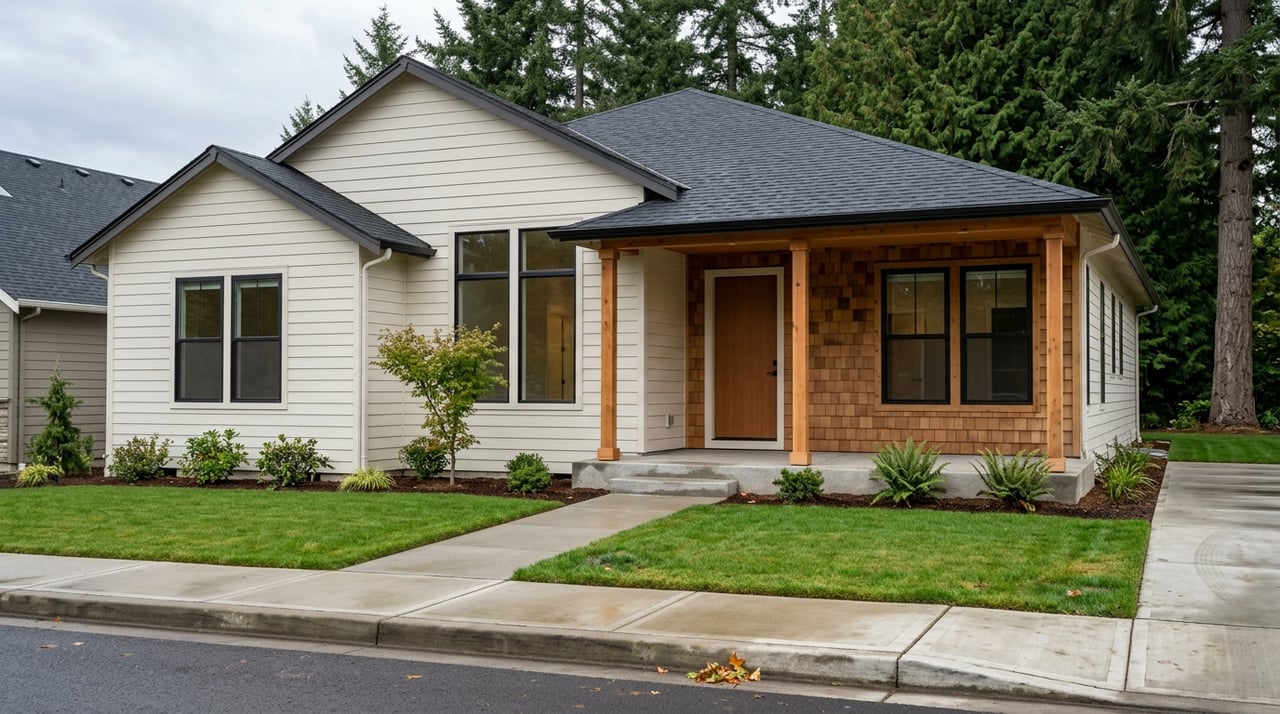
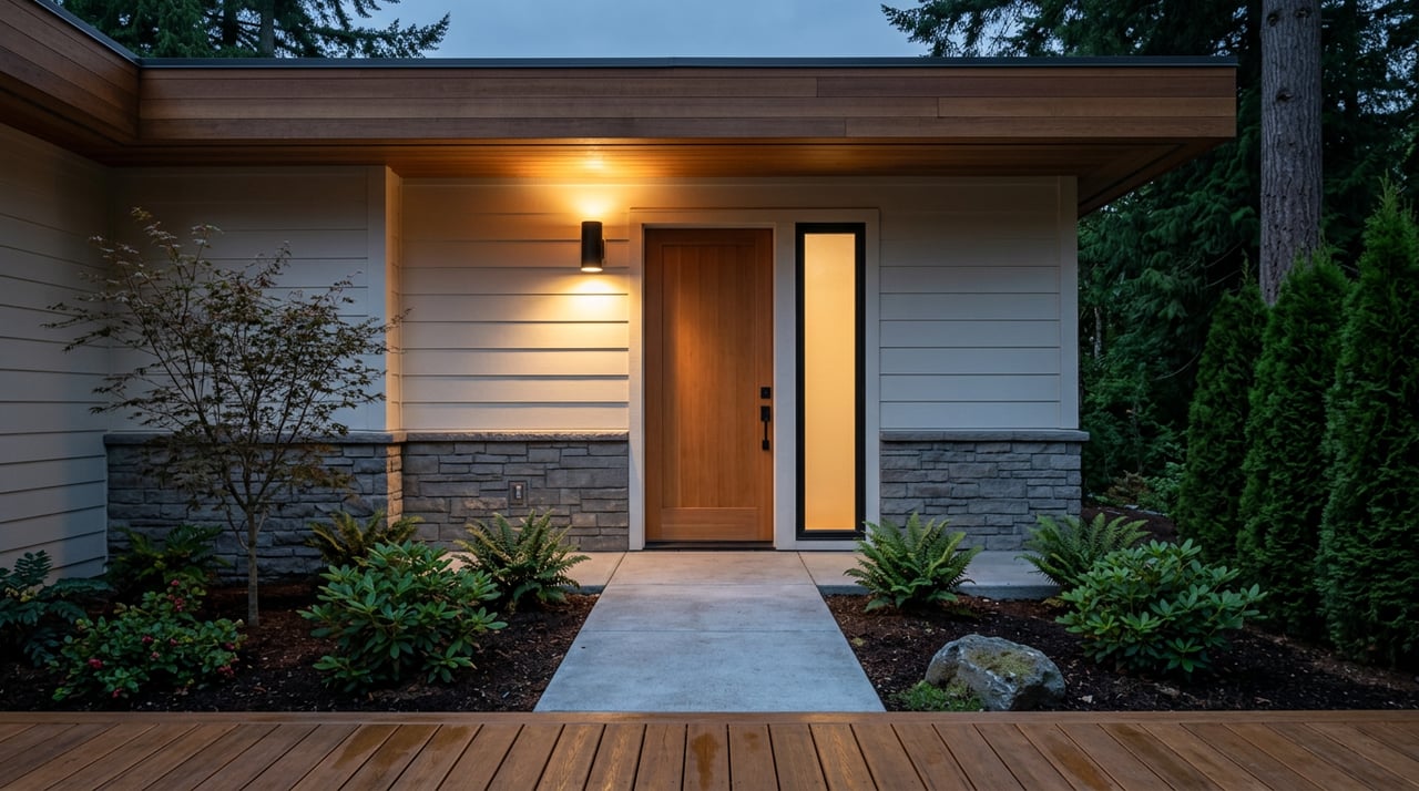
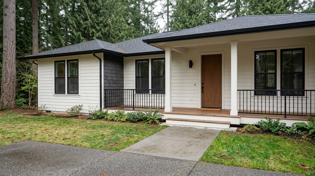
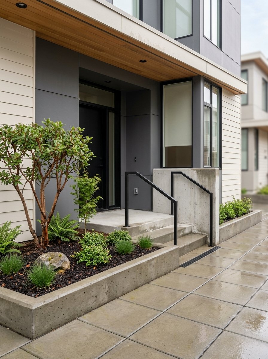
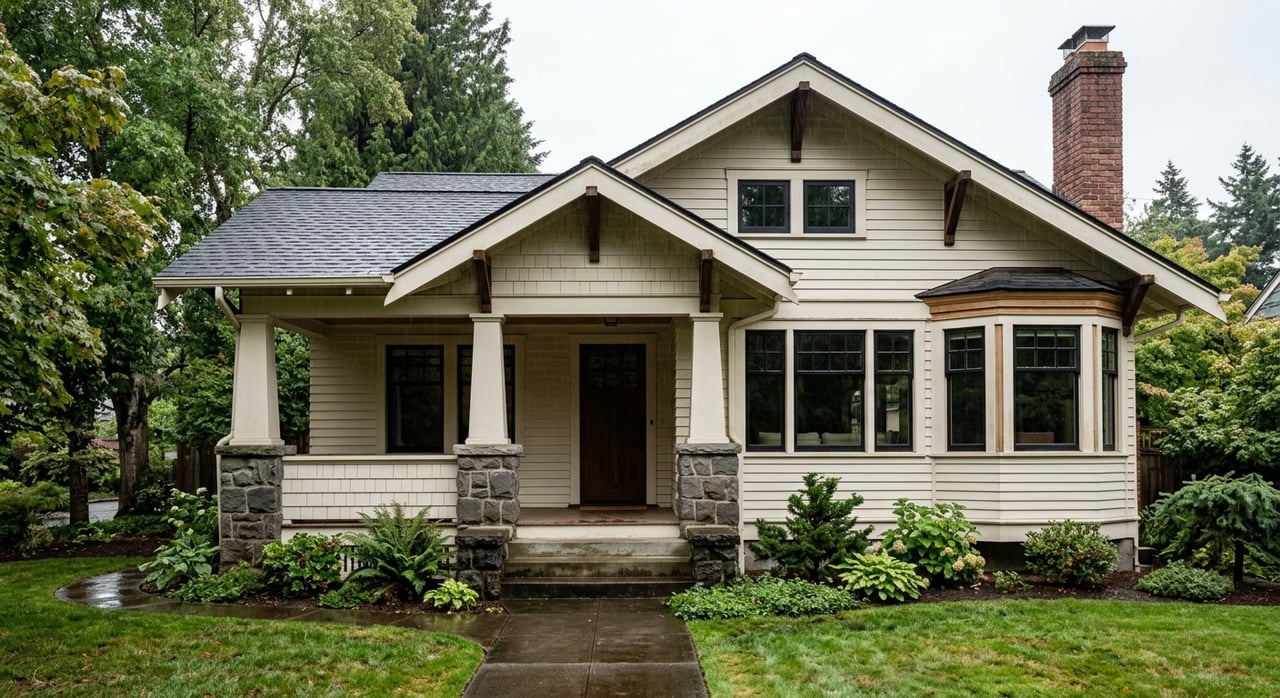
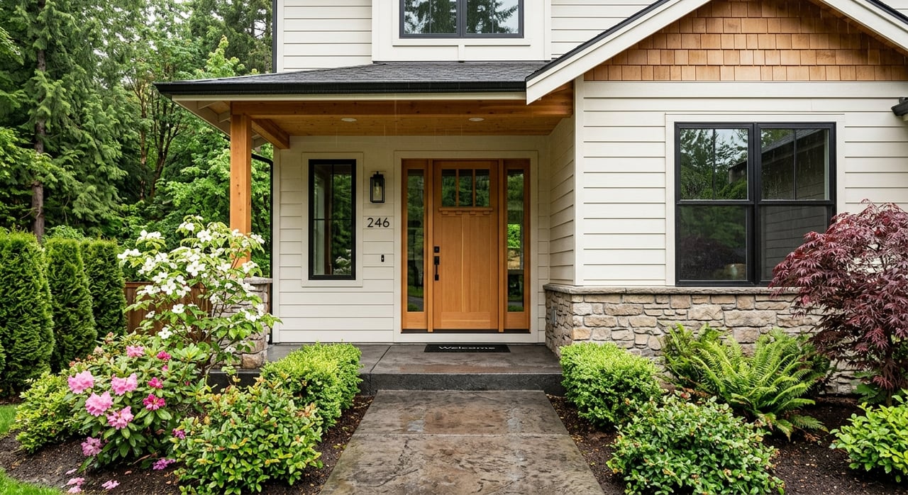
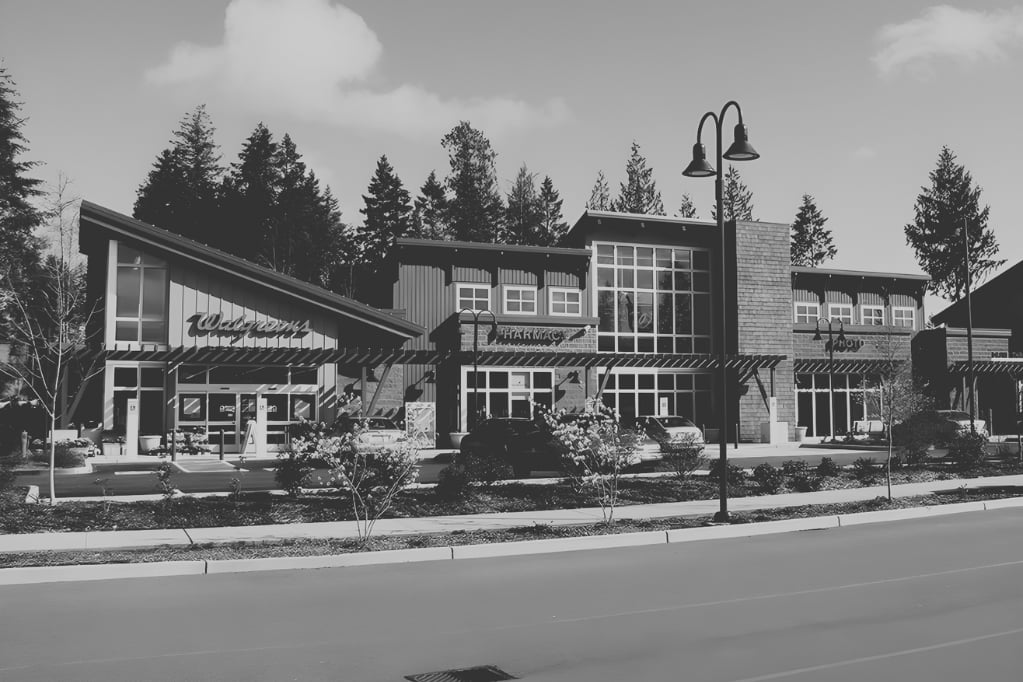
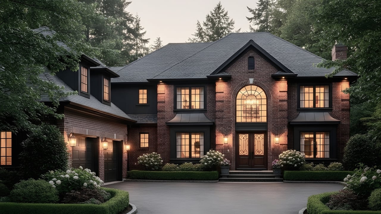
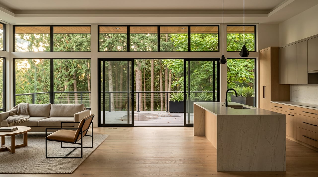
The North End’s older subareas feature pre–World War II architecture. You will see Stick and Queen Anne Victorian styles, Craftsman bungalows, American Foursquares, and Tudor Revival homes, especially in and near the North Slope historic district. Blocks are shorter, sidewalks and street trees are common, and neighborhood corridors mix homes with shops, small restaurants, and some multifamily buildings. City materials for Proctor and the North End emphasize pedestrian comfort and human-scale design. For architectural and economic context, see the DAHP technical report on historic districts and the Proctor District Neighborhood Plan.
What that means for you
- If you love intact historic details, front porches, and a quick walk to cafes, focus on North End micro-locations like Proctor, 6th Ave, North Slope, and Old Town.
- If you want sunsets from your living room, larger yards, and a quieter, terrace-like street pattern, focus on West Slope around the Narrowmoor additions and the Titlow corridor.
Waterfront, parks, and your “view life”
West Slope: private view moments and Titlow access
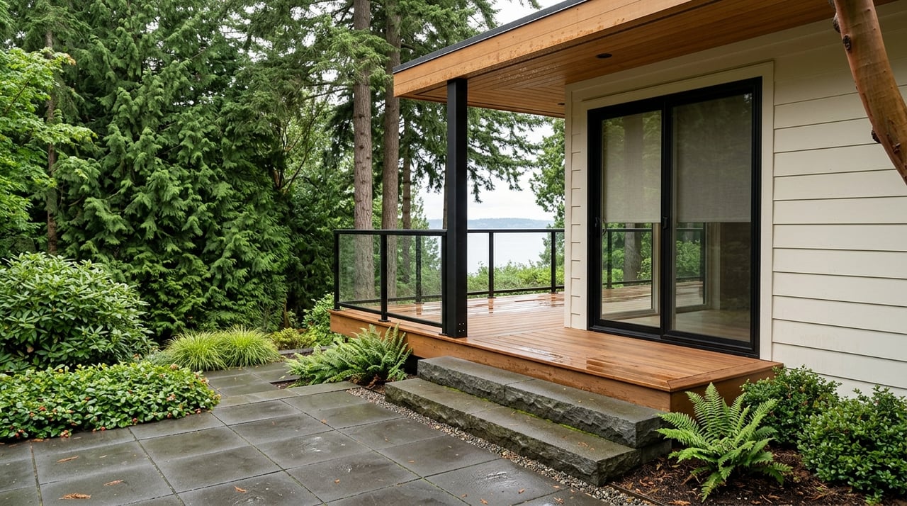
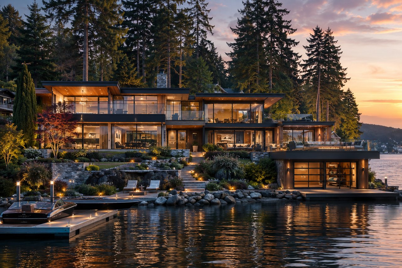
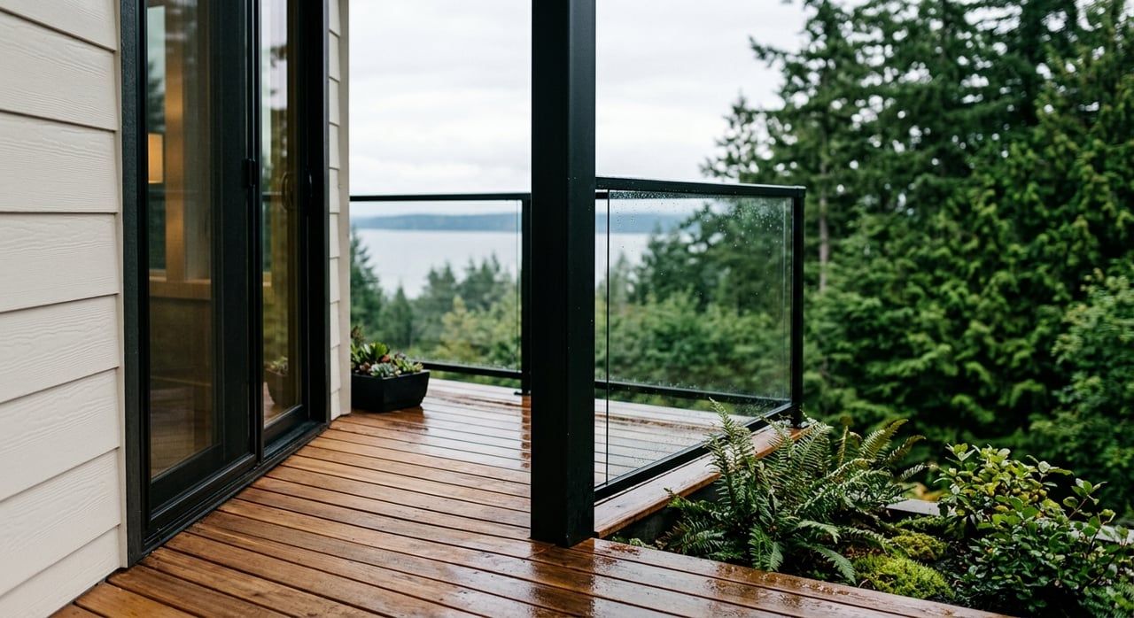
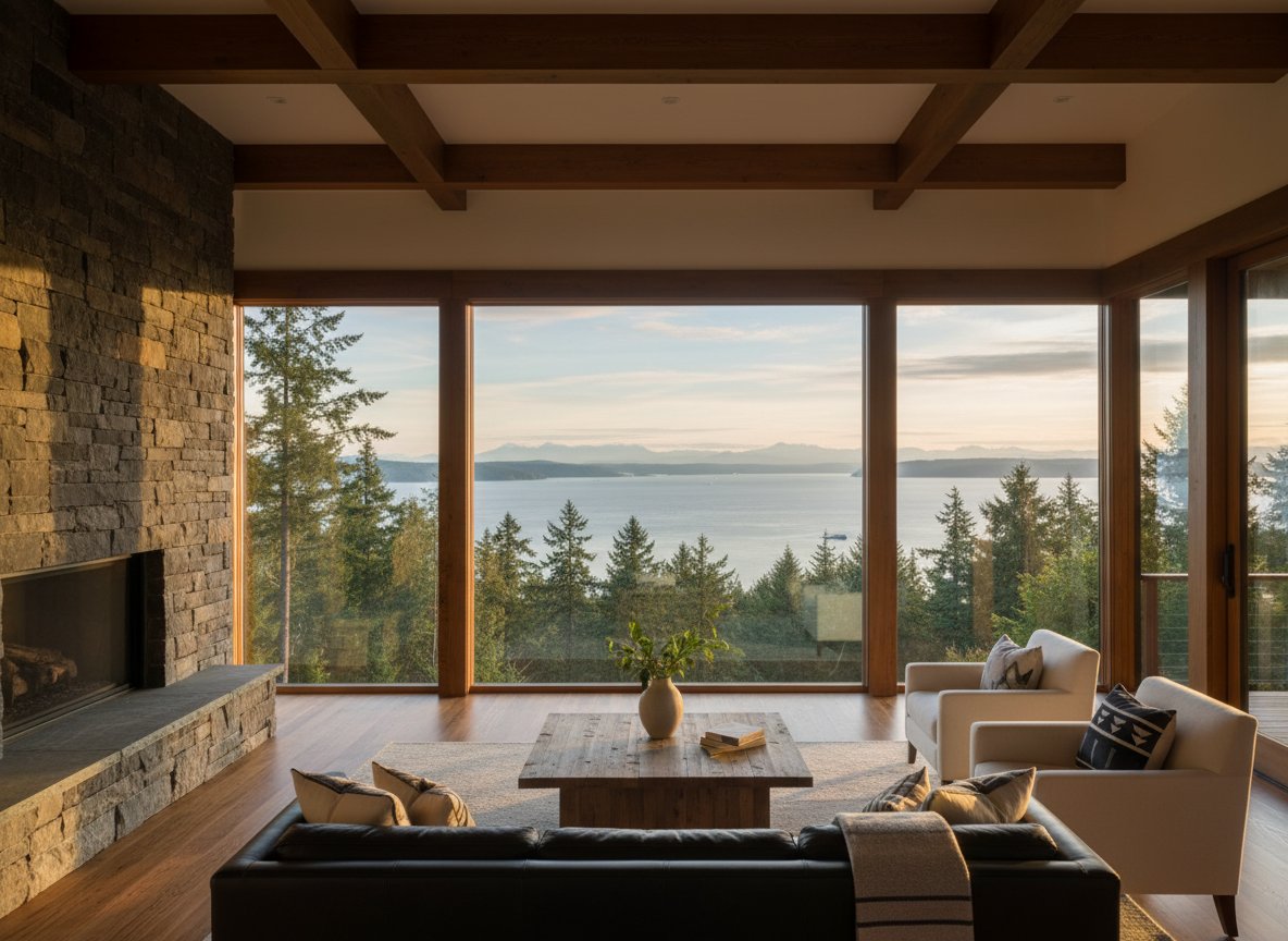
Because West Slope sits on a bluff facing the Tacoma Narrows, many homes were planned to maximize water and bridge views. Protecting those view corridors has been a long-standing neighborhood priority. At the shoreline, Titlow Park offers beach access, trails, and community spaces right where the plateau meets the water. For background on the view-oriented platting and the role of Titlow, see the West Slope historic survey.
- Typical day: a quiet morning on your deck, scenic drives along the bluff, and a quick drop to Titlow for tidepooling or a beach walk.
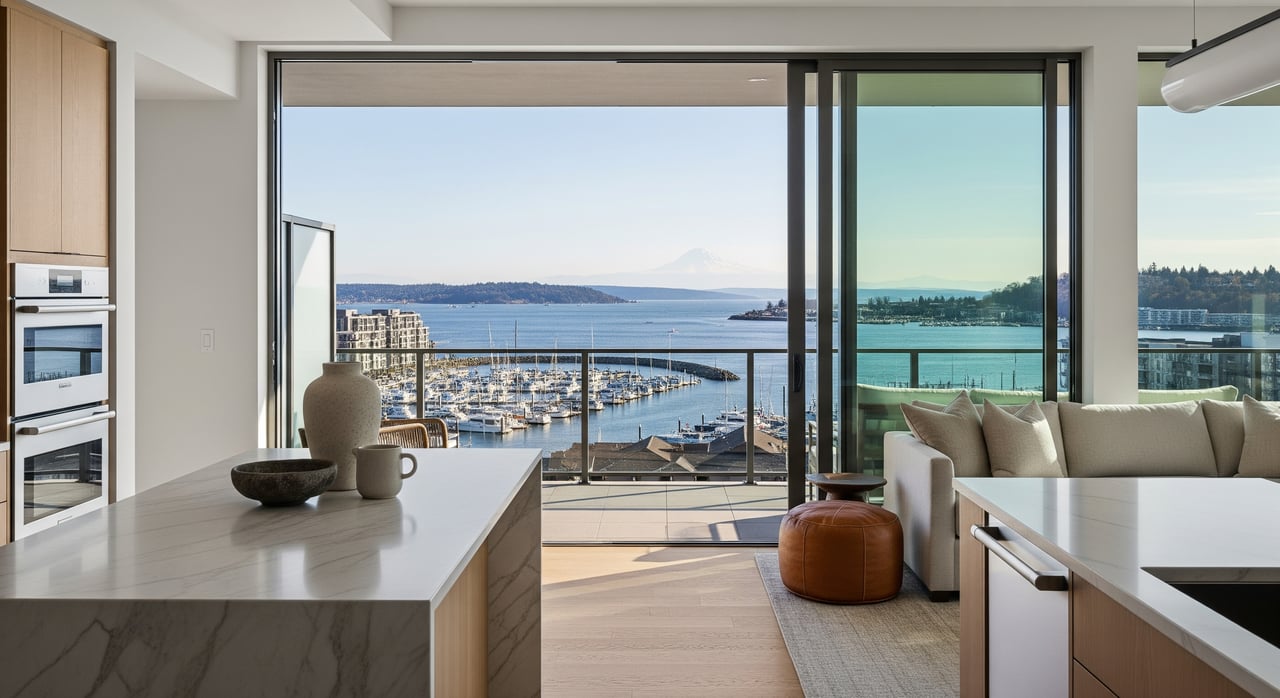
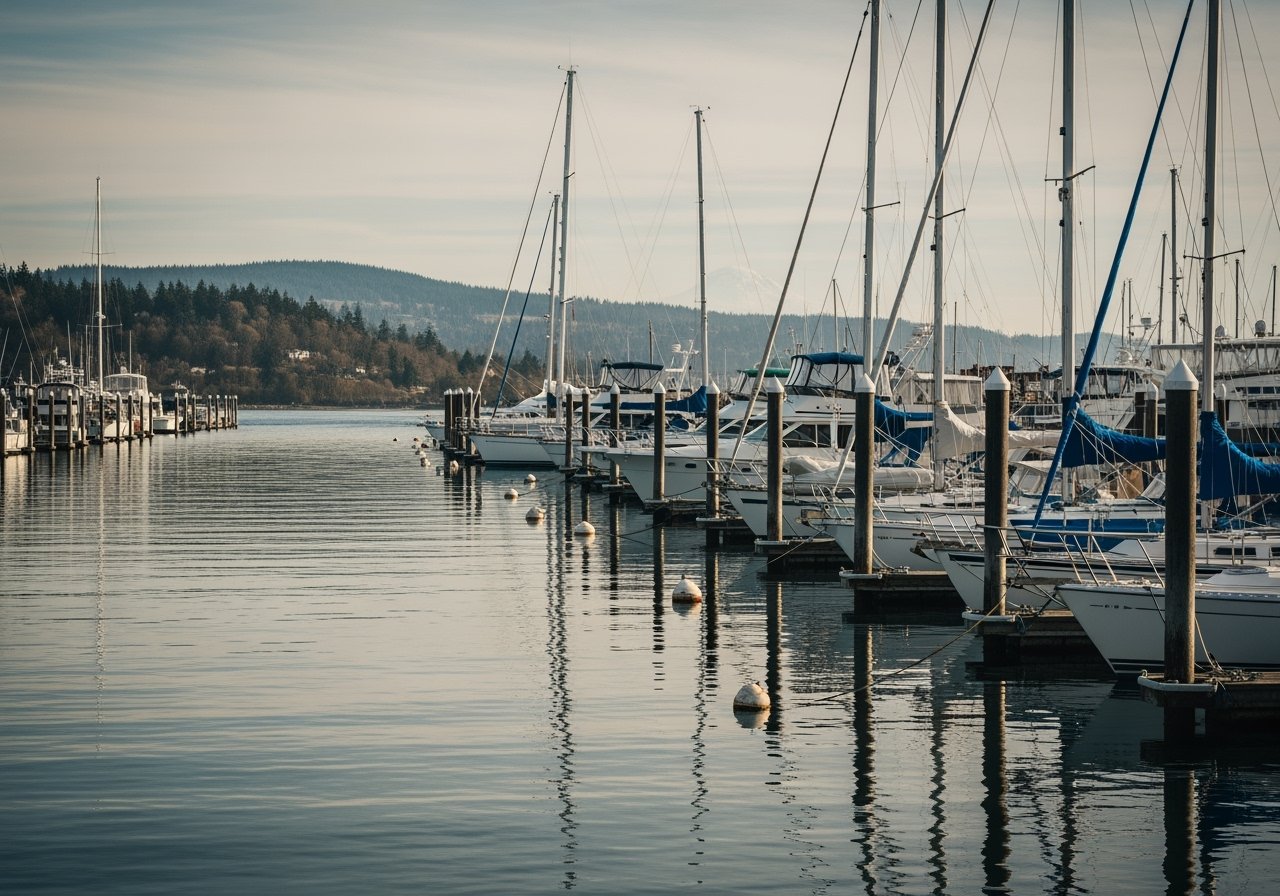
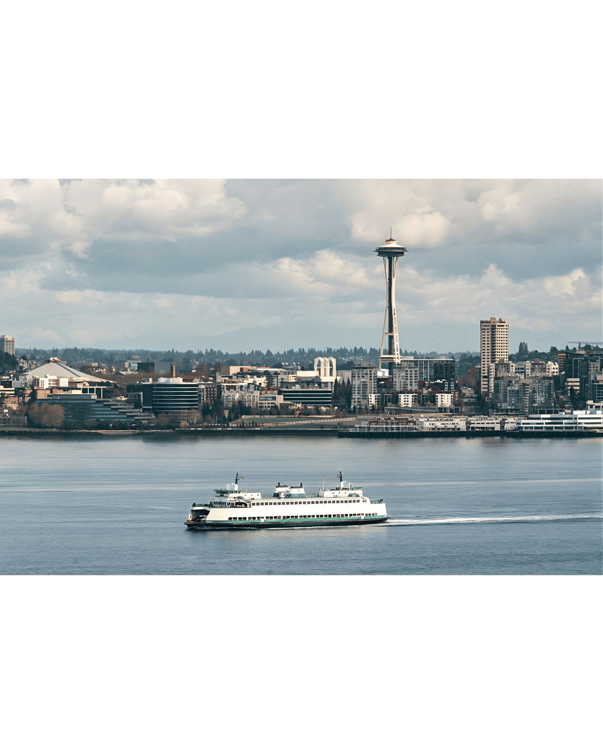
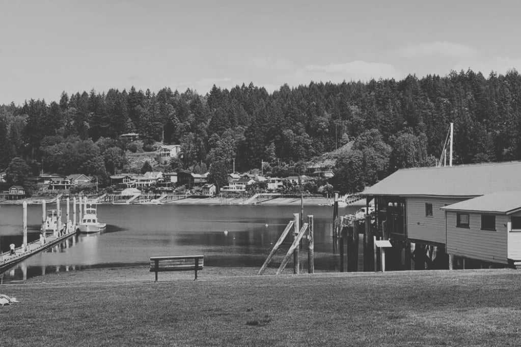
North End: Ruston Way promenade and Point Defiance
The North End’s Commencement Bay waterfront is designed for public access. Ruston Way is a continuous waterfront walk with parks, piers, and restaurants. Recent park projects at Dune Peninsula and the Wilson Way bridge connect the Point Defiance trail system directly to the Waterwalk. Explore the connectivity at Metro Parks’ Dune Peninsula page and the scope of Point Defiance Park.
- Typical day: run or bike along Ruston Way, grab lunch on the waterfront, then head into Old Town or Proctor for errands.
Getting around and commute patterns
Everyday errands and drive times
- North End: You are close to downtown Tacoma and neighborhood business districts like Proctor and 6th Ave, which often means shorter, in-town trips for groceries, coffee, and services. City plans for the North End and Proctor highlight this walkable, 20-minute neighborhood scale.
- West Slope: S. Jackson, S. 6th, and S. 19th connect you to SR 16 for straightforward trips toward the Narrows Bridge, Gig Harbor, and regional corridors. The West Slope survey notes these arterials and how the terrace layout prioritizes a residential feel over commercial density.
As a citywide baseline, Tacoma’s mean travel time to work is about 29 minutes according to the U.S. Census. Your actual commute will vary by time of day and employer location, so test live drive times from candidate homes. See the Census QuickFacts for the citywide context.
Transit and ferry options
Pierce Transit serves the North End and Point Defiance corridors with local routes that connect to downtown and regional hubs. The agency’s long-range plan outlines service along key neighborhood corridors, including 6th Ave and Ruston/Point Defiance. Review the planning context in Pierce Transit’s Destination 2040 plan.
If you use ferries for recreation or island access, the Point Defiance–Tahlequah route offers a short link to Vashon Island from the North End shoreline. Learn more on the Washington State Route 163 page.
Practical tradeoffs to weigh
- Walkability to daily retail: Proctor, 6th Ave, and Old Town in the North End offer stronger doorstep retail and dining. City plans for Proctor emphasize pedestrian comfort and human-scale storefronts.
- View certainty: West Slope lots were platted to face the Narrows, but views can be shaped by tree growth, neighboring structures, and the specific slope. Visit at sunset and discuss local zoning and height rules with your agent. The West Slope survey explains the neighborhood’s view orientation.
- Slope and maintenance: On bluff-adjacent properties, plan for routine checks of drainage, retaining walls, and tree management. An inspection and review of any prior slope work or easements is a smart step. This is consistent with the terrain described in the West Slope survey.
- Parking and street grades: West Slope’s terrace layout can mean steeper streets and longer blocks with fewer cross streets. That keeps traffic low but may affect guest parking and daily walking routes. See the plat and street pattern notes in the West Slope survey.
- Architecture and upkeep: Many North End homes are older with historic materials and details, which can mean restoration priorities. West Slope homes often feature mid-century layouts that buyers update with modern finishes. For historic housing context, see the DAHP technical report and the West Slope survey.
Which lifestyle fits you?
- Choose West Slope if you prioritize panoramic westerly views, larger mid-century lots, and a quieter residential setting with quick SR 16 access. Your waterfront life is more about private decks, scenic drives, and Titlow Park.
- Choose the North End if you want a historic street grid, front-porch energy, and daily outings to the Ruston Way promenade, Old Town, and Proctor. Your waterfront life is more about public access, events, and restaurants along Commencement Bay.
Both options can be right. It comes down to whether you want a terrace-and-sunset orientation or an in-town, walkable waterfront culture.
How to compare homes on a tour
Use this simple checklist during showings to keep your decision clear:
- Test walkability. From the front door, walk five to ten minutes toward the nearest business node or park. Note sidewalk conditions and crossings.
- Check view corridors. At West Slope homes, visit near sunset. Stand at living room windows and main deck. Look for trees and neighboring rooflines that shape the view.
- Scan the site. On bluff-proximate properties, look for drainage pathways, slopes, and retaining walls. Ask about any past geotech or drainage improvements.
- Feel the street. Note grades, traffic speed, on-street parking, and whether blocks are long or short.
- Try the waterfront. Visit Titlow for West Slope, and Ruston Way or Point Defiance for the North End. See which access pattern feels natural to you. Learn more about connectivity at Dune Peninsula and Point Defiance Park.
- Drive your commute twice. Do it at your real peak times. For citywide context, Tacoma’s mean commute is about 29 minutes according to the Census QuickFacts.
- Review the latest market snapshot. Ask your agent for current 98406 and micro-neighborhood pricing and inventory. Numbers move quickly; use a fresh MLS pull before you decide.
Ready to explore in person?
If you want relaxed, no-pressure guidance and a clear plan for comparing West Slope and North End homes, let’s make it easy. I pair neighborhood-level insight with a modern, visual-first approach to help you feel confident about your move. Book a tour route that hits both areas in one efficient visit and see which view lifestyle fits you best. Connect with Catt Johnson to get started.
FAQs
What defines West Slope in Tacoma?
- The state’s historic survey places West Slope/Narrowmoor roughly between S. 6th Ave, S. Jackson Ave, S. 19th St, and Mountain View or Linden Lane, with terraces oriented to the Tacoma Narrows; see the West Slope survey.
How walkable is Tacoma’s North End for daily errands?
- Subareas like Proctor, 6th Ave, and Old Town offer short blocks, sidewalks, and neighborhood storefronts highlighted in city plans; review the Proctor District Neighborhood Plan and North End Action Strategy.
Where is the best public waterfront access in the North End?
- Ruston Way provides a continuous promenade with parks and dining, and Dune Peninsula links to Point Defiance via Wilson Way; see Metro Parks’ Dune Peninsula and Point Defiance Park.
What commute patterns should I expect in 98406?
- Tacoma’s mean commute is about 29 minutes citywide; North End trips trend shorter for in-town errands, while West Slope offers quick SR 16 access across the Narrows; see Census QuickFacts and the West Slope survey.
Are there special considerations for bluff or terrace homes?
- Plan for drainage and retaining-wall maintenance, tree management, and due diligence on any past slope work or easements; the terrain context appears throughout the West Slope survey.